The surveying industry has experienced a significant transformation with the rise of drone mapping services. Traditionally, land surveying required extensive manual labour, specialized equipment, and significant time to cover large areas. With the advent of drone technology, these challenges have been addressed, offering more efficient, accurate, and cost-effective solutions for various industries. Here’s how drone mapping services in Nelson from us at Agri Drone Specialists are revolutionizing the field of surveying.
 Increased Efficiency
One of the most notable advantages of drone mapping is its ability to significantly reduce the time required to survey large areas. Traditional ground surveys can take days or even weeks, depending on the size and complexity of the terrain. Drones, however, can cover vast landscapes in a fraction of the time. Equipped with high-resolution cameras and sensors, drones capture detailed images and data quickly, enabling surveyors to complete projects faster and more efficiently.
Enhanced Accuracy
Drones provide accuracy that is difficult to achieve with traditional surveying methods. Using advanced GPS technology and high-resolution imaging, drones can capture precise data points and create detailed maps with minimal errors. This accuracy is essential for construction, agriculture, and urban planning, where precise measurements are critical for successful project execution.
Cost-Effectiveness
The cost savings associated with drone mapping services are substantial. Traditional surveying requires expensive equipment and a larger workforce, which can drive up project costs. In contrast, drones reduce the need for extensive manpower and equipment, leading to lower operational expenses. Additionally, the speed and efficiency of drone surveys mean fewer labour hours are needed, further reducing overall costs.
Accessibility to Difficult Terrain
Drone mapping services are particularly beneficial in surveying challenging or inaccessible terrains. Steep slopes, dense forests, and hazardous areas can pose significant risks to surveyors using traditional methods. Drones can easily navigate these areas from the air, capturing comprehensive data without putting personnel in harm’s way. This capability makes drone mapping ideal for environmental studies, mining operations, and disaster management.
Versatility and Multi-Industry Applications
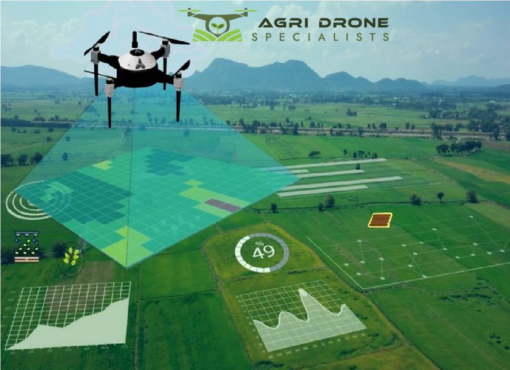
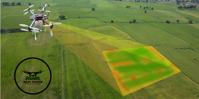
The versatility of drone mapping services extends across various industries. In agriculture, drones are used for precision farming by providing detailed crop health maps. In construction, they monitor progress, manage resources, and ensure site safety. Urban planners utilize drone maps for designing infrastructure, while environmentalists use them for monitoring ecosystems and tracking changes over time. The adaptability of drone mapping technology allows for its application in numerous fields, making it a valuable tool for modern surveying.
Data Integration and Analysis
Drone mapping services provide not only raw data but also advanced analysis tools. The data collected by drones can be integrated into Geographic Information Systems (GIS) and other software platforms, allowing for more comprehensive analysis and visualization. This integration helps stakeholders make informed decisions based on accurate and up-to-date information.
Drone mapping service has revolutionized the surveying industry by offering enhanced efficiency, accuracy, and cost-effectiveness. Their ability to access difficult terrains and provide valuable data across various industries has made drones an indispensable tool in modern surveying. We also offer drone seeding services in Nelson to make agriculture easier and more effective.